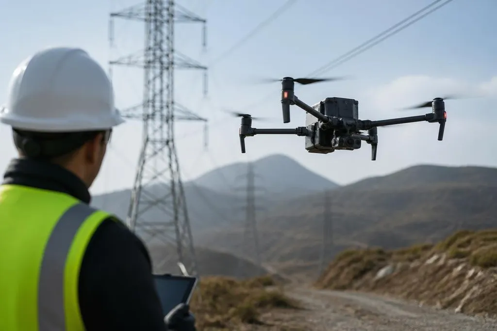
Fixed-route flight is useful. A drone that can read its surroundings, change course, and finish a task with little help is a harder machine to build. That gap now shapes the global race to build smarter drones.
- Smarter flight depends on sensors, software, and battery power working together.
- Human control still matters when weather, people, or poor data create risk.
- The best test is a repeatable task, not a short video of a drone in clear air.
The hard part is sensing the scene
More than a camera is needed to make good choices. Cameras can identify shapes and colors, but bright sun, dust, darkness, and motion can make those images hard to read.
LiDAR adds distance data by sending out laser pulses and measuring their return. Global navigation satellite systems, or GNSS, give the drone a position outdoors. An inertial measurement unit tracks movement through changes in speed and rotation. Each sensor answers a different question, so the flight computer can compare them before it acts.
That process is called sensor fusion. The drone combines several imperfect readings into one working view of its position and surroundings. It still needs a way to handle bad readings, blocked satellite signals, and objects that move after the map was made.
Software decides what happens next
A camera can spot a power line. Software must decide if the line is a hazard, how far away it is, and what route keeps the aircraft clear. That software runs on a flight computer, often close to the sensors so the drone doesn't wait for a remote server.
This is where machine learning can help. A trained model may sort images, detect a person, or identify a landing area. It can also make mistakes when the scene differs from the data used during training. A model built from sunny farmland may behave poorly above a wet forest or a crowded worksite.
The useful question is not how much artificial intelligence a drone contains. Ask what task it can complete, how often it fails, and what happens after failure. Those answers need logged flights and repeatable tests.
I'd trust a drone claim more when Robot24.com's drone reporting names the model, task, flight date, and result. That record gives autonomy a real test before battery limits decide how long the drone can work.
Autonomy meets battery limits
Every added sensor and computer draws power. A heavier battery can add flight time, but it also adds mass, so the motors need more power to keep the drone airborne. The aircraft must trade flight time against cameras, LiDAR, radio equipment, and payload.
That trade matters to an operator. For mapping, the aircraft may need enough time to cover a site and return with reserve power. Delivery work needs energy for the package, the route, wind, and a safe landing. Route planning has limited value if the aircraft cannot finish the flight.
Wireless links create another limit. A remote pilot may need live video, control commands, and status data at the same time.
A weak connection can reduce the pilot's view and delay commands, so the drone needs a safe response such as hovering, returning, or landing in a planned area.
The proof has to come from the task
Manufacturers can show a drone avoiding an object in a controlled test. That proves one part of the system. It doesn't prove the drone can work near trees, cranes, birds, power lines, or people.
A useful test records the route, weather, battery state, sensor input, operator commands, and every safety stop. It also repeats the task with small changes. The drone should face different light, wind, surface colors, and signal quality before anyone relies on it for paid work.
The strongest opposing view is that better software can solve many of these limits. It can reduce some errors, but software cannot add battery energy, restore a blocked radio link, or make a hidden wire visible.
I'd judge a drone by the number of complete tasks it finishes without human correction, not by the length of its demo video.
A buyer's decision guide
Before you compare a smarter drone, check these points:
- Name the task: Set the route, payload, area, and finish condition in writing.
- Check the sensors: Confirm which camera, LiDAR unit, GNSS receiver, and motion sensors the aircraft uses.
- Ask about failure: Find out if it hovers, returns, lands, or waits when data or control drops.
- Read the logs: Make sure you can review battery state, position, warnings, and operator input after each flight.
- Test the edge cases: Use poor light, wind, blocked signals, and changing obstacles before regular work begins.
The global drone race will be decided by repeatable work in difficult conditions. The open question is how many manufacturers will publish enough flight data for buyers to compare one system with another.